


By default, AutoCAD Map 3D will label features with the property you select without changing the values for that property in any way. For example, if the value for the AREA property is set to 0 it simply means that it is not known or has not been specified. You can easily filter out these zeros and prevent them appearing on your map by using an expression. (For an example see the second animation in the skill Manually adjust the ranges of a theme.)
Another example of the use of an expression to change the appearance of labels is shown in the illustrations below. The labels show the area of the parcels to an accuracy of three decimal places. It is good to have this kind of accuracy in the data, but we don’t necessarily want to display all three decimal places on the map—we don’t need to show that level of precision and the extra numbers make the map look cluttered.
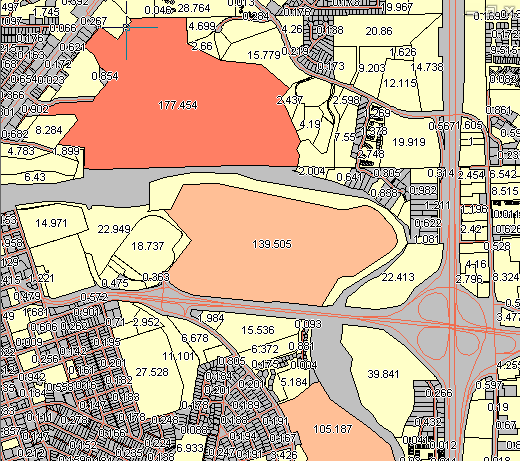
The illustration below shows the result of editing the labels to display only one decimal place.
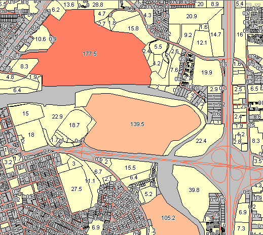
The following animation uses the parcel map shown above. It shows how to create an expression that includes the mathematical function ROUND. IN this case, we use the ROUND function to reduce the number of decimal places from three to one. (The expression looks like this: ROUND / area, 1)