


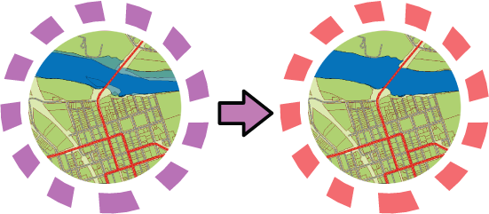
AutoCAD Map 3D 2008 also provides a way to export all of the current map layers to plain AutoCAD format. For example, suppose you have created a map with many different layers. Some of them come from feature classes in an Oracle database, and some of them come from SDF. You want to send the map to a contractor who only has AutoCAD. You have styled the layers in Display Manager, as shown in the image on the left in the illustration below.
You use the Save Current Map as DWG command to convert the Display Manager layers to AutoCAD layers. When AutoCAD Map 3D converts the layers, it will preserve the existing styles as far as possible. In this example, the polygon features will be saved as closed polylines and given the same solid fill color as they have in the original map. However, because AutoCAD does not support transparent objects, the polygons on the floodzone layer, which are semi-transparent in the original, are rendered as filled polylines as well.
The first demonstration shows how to export the current map. This particular map is a simple one with three layers, all polygons.
Show me how to export the current map to DWG format
The second demonstration shows what the DWG looks like when it is opened. The three layers have been converted into AutoCAD layers and the styling has been preserved. The appearance of the converted DWG is very close to the original.