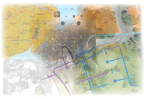
Many engineers are familiar with the powerful set of editing tools provided by AutoCAD®, but have little experience with GIS applications and little time to learn them. If you have opened this book, you are probably an engineer or skilled drafter who knows AutoCAD very well. You may also know something about AutoCAD® Map 3D from previous releases. However, you may be less familiar with tasks that come under the heading of “GIS.” The goal of this book is to help you take your GIS skills to another level.
Many engineers are being asked to take on more GIS tasks, often because of changes in departmental processes or because there are too few specialists who have been trained in GIS applications. So what are GIS skills? How are they different from the engineering and drafting skills that you already have?
GIS skills or tasks are primarily data-oriented, being concerned with tasks such as data preparation and cleanup, data management, and data sharing. These tasks also tend to be feature-oriented, dealing with real-world objects such as roads and parcels rather than geometric entities such as polylines and polygons. They may deal specifically with feature data that is kept in a central data store, such as an Oracle® database or SDF files. They may deal with geo-referenced data that is stored in DWG format. Or they may involve working with both feature data and DWG data.
This book collects together the most common and/or most important of these skills, and groups them together so that they are easy to learn.


