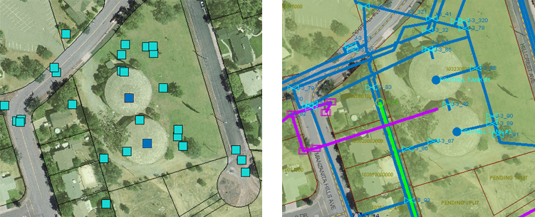
Point data is often used in engineering projects. X, Y, and Z coordinates of assets and structures such as inlets, outlets, and manholes can be captured directly in digital format using a GPS or other data-collection device. Other attributes of the various structures, such as type, condition, and age may be noted manually by survey crews in their field books. The coodinates are stored as columns in a database table. The attributes of the various structures can be entered into the database as well.
Point data is brought into your map as raw coordinates and stylized afterwards, usually by assigning symbols (blocks) to the different point features.

Microsoft® Access (.mdb) is a common format for storing this kind of point data. However, spreadsheets in formats such as Microsoft Excel (.xls) are widely used as well. You bring this data into AutoCAD Map 3D in the same way, using the provider for ODBC. (ODBC stands for Open DataBase Connectivity.)
The simplest way to connect to an ODBC database is through a system DSN (Data Source Name) that you have already defined. It is very easy to define a DSN using the Windows Control Panel/Administrative Tools/Data Sources (ODBC).
Once you have connected to the database using your DSN, you can select the feature classes that you want. You need to specify two other things when you bring in point data:
- The original coordinate system of the point data. The Microsoft Access database doesn’t store any coordinate system information. You need to specify it so that the data can be correctly projected.
- The columns in the database table that contain the coordinate information. For example, a table may have two columns, LON and LAT, which contain the X and Y coordinates for the points (LON=X, LAT=Y).


