


You can incorporate data in your maps from layers that have been published to a public web server. Web-based data is published using one of two open standards developed by the OpenGIS Consortium (OGC):
- WMS (Web Map Service),which consists of raster data such as satellite photographs
- WFS (Web Feature Service), which consists of layers of features in vector format
The number of Web Map Services (WMS) and Web Feature Services (WFS) that implement OpenGIS interfaces on the Internet is increasing all the time, as more organizations adopt the open standards. At the moment, there is a lot more data available in WMS format than in WFS.
Data from WMS web services can be used to provide background layers for your map. Attribute data may be available for WFS layers.
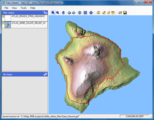
If you find a server that provides WMS or WFS data that interests you, you can browse the content of the published layers using viewer software, such as the Gaia viewer shown in the illustration below.
Once you have located some WFS or WMS data, you need to get the URL of the page that serves the published layers. Often, this is not a standard web page that you can open in a browser, but a page that has been programmed using a scripting language such as CGI, PHP, or ASP. A typical web server address looks like this: http://wms.jpl.nasa.gov/wms.cgi
You can then paste the address into the Data Connect dialog box in AutoCAD Map 3D. The following example shows a WMS connection, but you connect to a WFS in exactly the same way.