


Another way to get your DWG objects into a GIS data store such as SDF is to convert the objects to features based on existing properties such as color or linetype. For example, suppose you have a standard in your workgroup in which a blue polyline always represents a pipe that is 4 inches in diameter and a red polyline represents a pipe that is 6 inches in diameter.
A common situation is to receive drawings from external contractors in DWG format. You may already have a process in place that specifies the layers, colors, and linetypes/lineweights that contractors must use. As long as the DWG objects that you receive follow these standards, you can easily convert those objects into features in your central database.
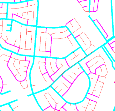
The illustration below shows the water mains in a city. The color property has been used to show the different diameters of the water mains.
- red = 6” diameter
- magenta = 8” diameter
- cyan = 10” diameter
This animation shows how to convert the drawing of water mains, shown in the illustration, into features stored in an SDF file, based on the color property of each polyline.
If you typically receive DWG data from contractors, you probably already have your database set up and simply append new features to it. This is what we do in this demonstration.
Show me how to export styled DWG objects
After the export operation, the SDF file contains one feature class: WATERMAIN, with three different values for the property DIAMETER. This animation shows how to bring the SDF data into AutoCAD Map 3D and view its contents using the Data Table.