Limit what can be entered in a field
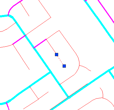
Suppose you are responsible for a group of drafting technicians who each have access to the same data, for example, the network of water mains shown below. You want to make sure that everyone in your group enters one of the standard values for the DIAMETER field when drafting new pipes. 6”, 8”, or 10” are the only values allowed. In AutoCAD Map 3D, you can do this by setting a constraint for that field.

To set a constraint, you edit the schema for the data source. After you have done this for a particular property, for example for DIAMETER, the following things will happen:
- When one of your team uses the Data Table to add attribute data for a new pipe feature, the DIAMETER field will contain a pop-up list of acceptable values for the diameter.
- If he or she does not see the list and enters some other value, an error message will appear that lists the acceptable values.


