Exercise 1: Exploring the Data Portal - DigitalGlobe®

Lesson 9: Branching Out - Finding Data Sources

Exercise 3: Exploring the Data Portal - Intermap™

AutoCAD Map 3D Tutorials > Tutorial: Building a Map > Lesson 9: Branching Out - Finding Data Sources >
Exercise 2: Exploring the Data Portal - NAVTEQ™
In this exercise, you’ll view the data available from NAVTEQ™.
- Close
the DigitalGlobe® window and display the Geospatial Solutions
page in your browser window.
If you are not already at the Geospatial Solutions page, in your browser, go to http://www.autodesk.com/geodata.
- On the Geospatial Solutions page, click Go Now for NAVTEQ.
- Click
the image of the city of Redding, California, to see the digital
map.
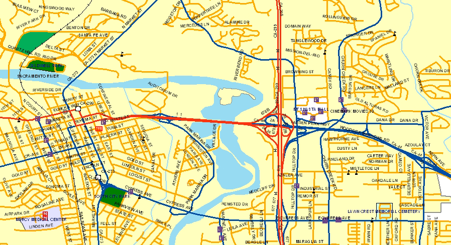
NAVTEQ™ street geometry includes street networks, block address ranges, a Point of Interest (POI) database, administrative area boundaries, railroads, hydrological data, and land use information.
- To try out some of NAVTEQ’s data, click Download Free Sample and follow the directions on the screen.