Adding a Spatial Entity Layer
From QGIS Map Canvas
Adding a Spatial Entity Layer
To visualize a spatial entity layer, we have to add it into QGIS Map Canvas. The QGIS Map Canvas is at the centre of QGIS interface on which added maps layers are displayed.
To add spatial entity into the map canvas, we use Spatial Unit Manager follow the steps below.
1. Enable the Spatial Unit Manager. By default, the Spatial Unit Manager is added to QGIS left side below the Layers Panel as shown in the image below.
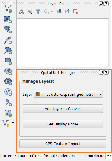
If it is not enabled, click on the Spatial Unit Manager button (see the image below) on the Spatial Unit Manager sub-menu under the STDM Menu to enable it.

Clicking on the button or the sub-menu enables the Spatial Unit Manager.
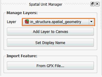
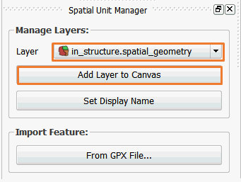
2. Select a spatial entity geometry. By default, the spatial unit geometry is the first in the Layers combo box as shown below.
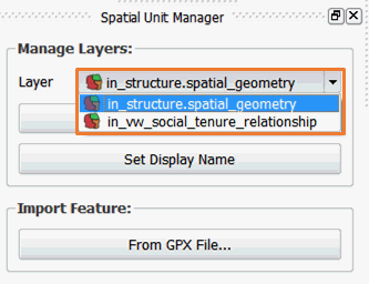
If you wish to add another entity geometry, click on the layers drop down as shown below.
3. Add the geometry you wish to QGIS Map Canvas and Layers Panel by clicking on  as shown below.
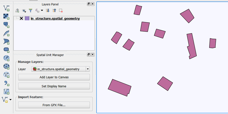
Once added you will be able to see your layer in the layers panel and the map canvas as shown in the image below.